City Desk :
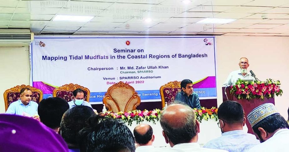
A seminar was organized on Tuesday at Bangladesh Space Research and Remote Sensing Organization (SPARRSO) to make a consultation on the results of Mapping Tidal Mudflats in the Coastal Regions of Bangladesh. Additional Secretary Md. Khairul Alam was present at the seminar as a guest of honour and Md. Zafar Ullah Khan, Chairman of SPARRSO presiding over the Seminar.
The research activity entitled Mapping Tidal Mudflats in the Coastal Regions of Bangladesh was presented by Dr. Md. Mahmudur Rahman, Chief Scientific Officer. High officials of the Ministry of Defence, representatives of the Forest Department, Coast Guard, Bangladesh Navy, Disaster Management Bureau, teachers of various departments and other relevant officials were present at the seminar.
Dr. Rahman has mentioned that the coastal regions of Bangladesh are undergoing continuous changes. Many areas are eroded and disappeared in the river and sea due to erosion. Similarly, new lands are formed by the sediment transported by the Padma, the Meghna and Jamuna rivers and their tributaries from the hinterland. Therefore, mapping and continuous monitoring of tidal mudflats are important. Mudflats are those lands that emerge from the coast during high-tide and disappear during the low tide.
Tidal mudflats in the coastal regions of Bangladesh have been prepared using Landsat-8 and Sentinel-2 satellite images (Figure 1). The mudflat map was validated on the ground. It is revealed from the map that the total amount of land of the mudflats is more than 900 square kilometers. The formation and the dynamics of tidal mudflats in the coastal region of Bangladesh have been discussed in the seminar. The prepared mudflat map overlaid on the satellite images of 2022 has also been demonstrated.
The tidal mudflat map will play an important role in the planning and implementation of coastal development. It will also be helpful for mangrove afforestation, land reclamation from the sea, implementation of Delta Plan 2100 etc.

